
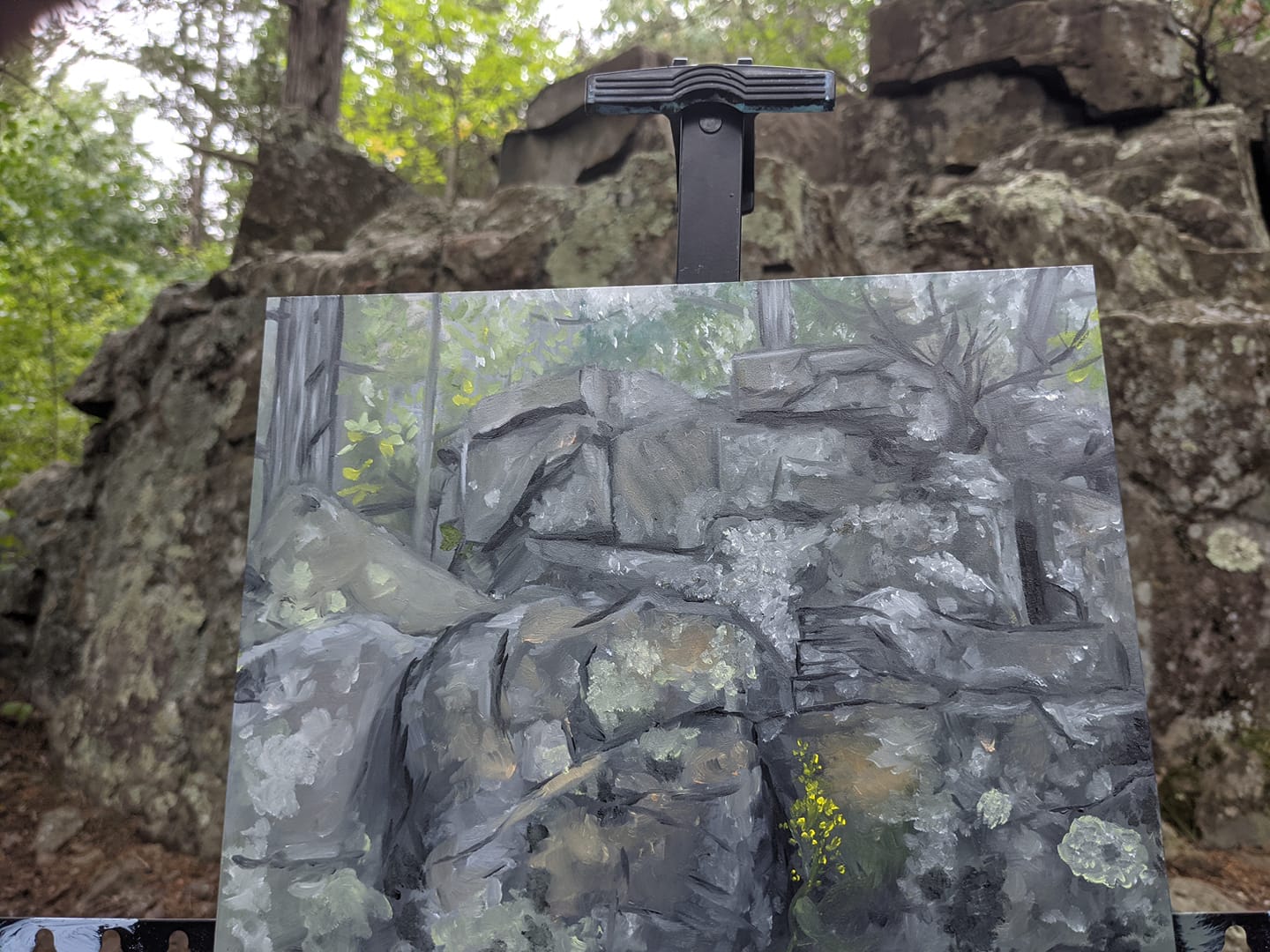
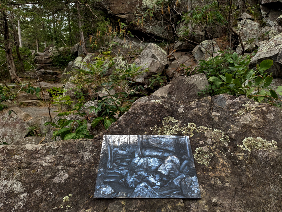
I moved to the St. Croix Falls area and began painting the basalt rocks along the river, surrounded by white pine and mixed hardwood bluff country. At first I was just trying to capture the mood of the place: dark volcanic cliffs, glacial potholes, pine-covered ridges, and the St. Croix cutting through it all.
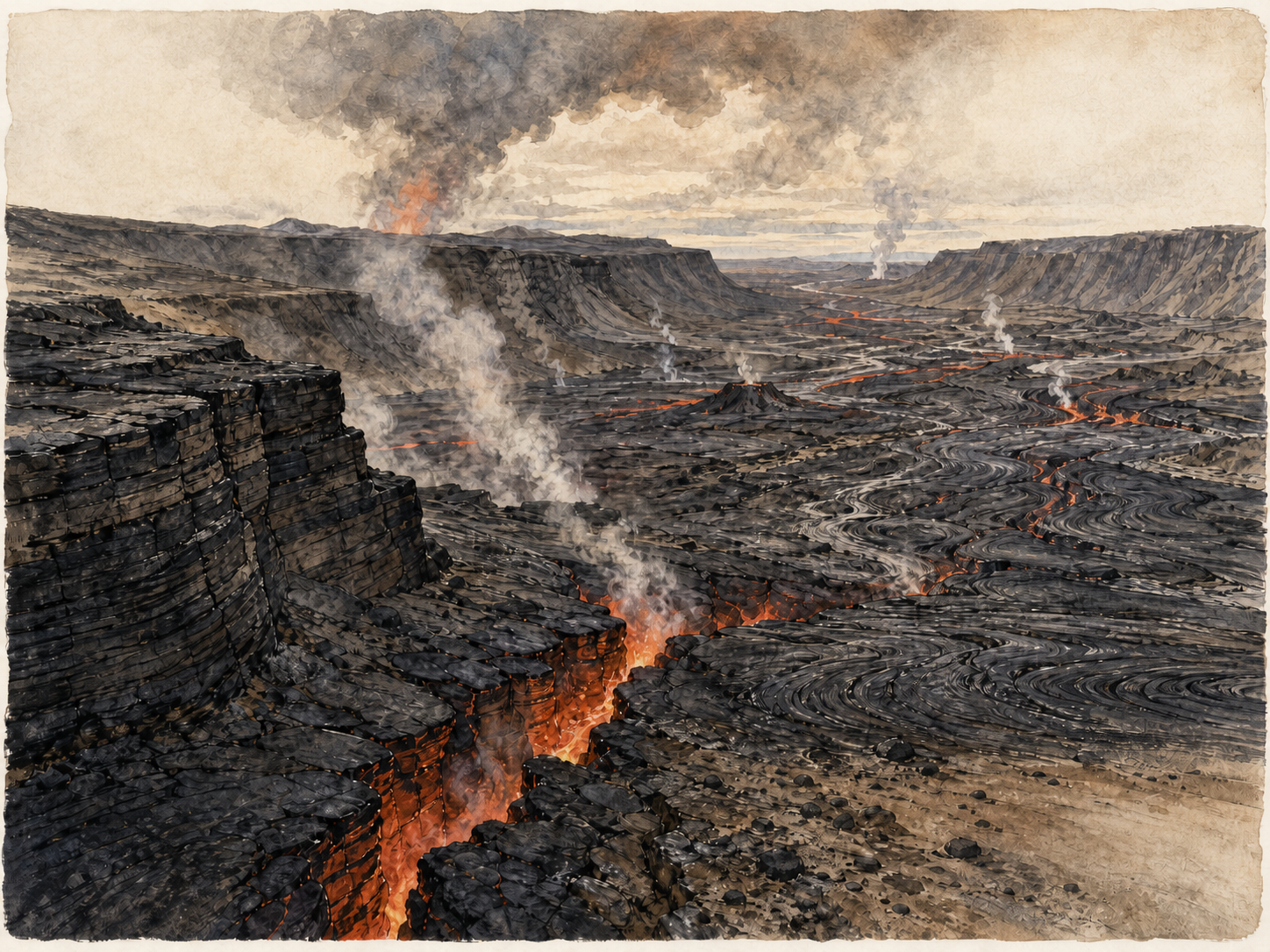
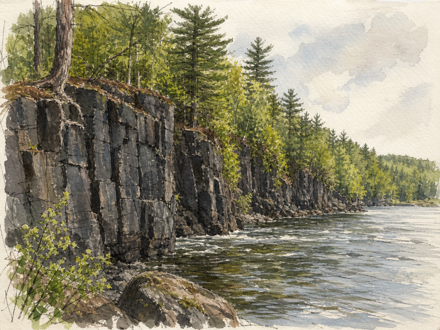
But the more I read the park placards, talked with rangers, and researched online, the more I realized I was painting the exposed edge of a billion-year-old volcanic story. The dark rock at Interstate Park is basalt from the Midcontinent Rift, a huge ancient tear in the continent that started opening around 1.1 billion years ago. It never became a full ocean, but it left behind immense volcanic rock around the Lake Superior and Upper Midwest region.
That is where the story begins: with fire.
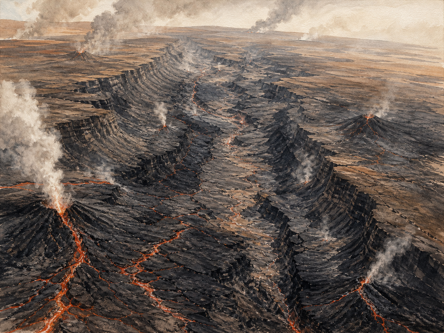
About 1.1 billion years ago, North America started to split apart. The crust stretched, cracked, and sagged. Lava rose through fractures and spread across the surface in repeated basalt flows. These were not little local eruptions. The Midcontinent Rift was a continent-scale geologic event, a long scar running through the Lake Superior region and buried beneath much of the Midwest. Around Lake Superior and the St. Croix River, pieces of that ancient volcanic world are still exposed.
That absence of plants matters. Later in Earth history, forests and root systems changed the way landscapes erode. Roots hold soil. Plants slow runoff. Organic matter helps build stable ground. But before widespread land plants existed, rain and floods could attack exposed rock and sediment more directly. Ancient rivers often spread wide across open sandy plains, carrying huge amounts of sediment. Without forests stabilizing banks and slopes, erosion could be broad, clean, and aggressive.
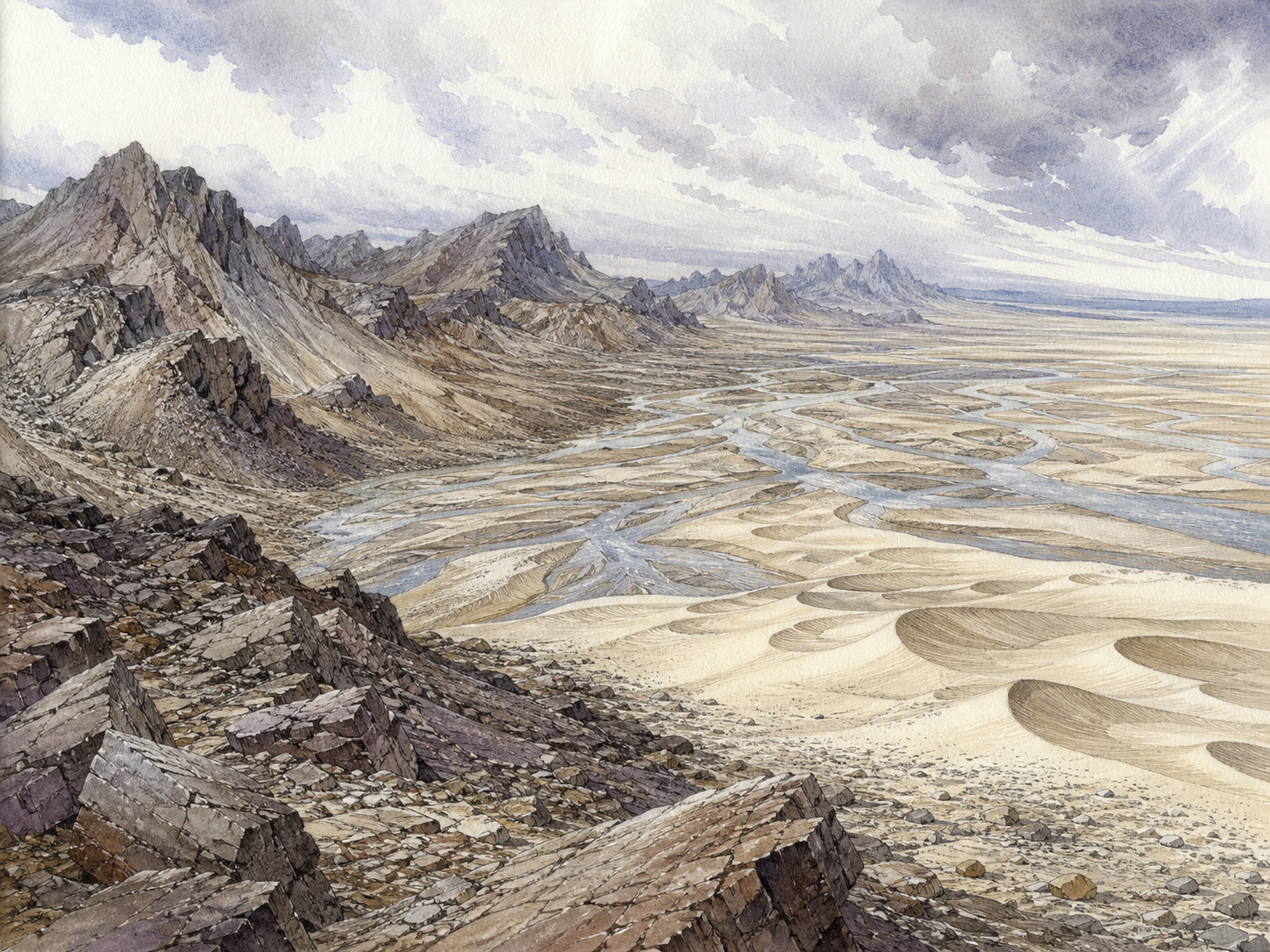
Over immense spans of time, highlands and old mountain belts wore down. The weaker minerals broke apart or dissolved more easily. Quartz survived. Quartz is hard, durable, and chemically resistant, so it can be transported, rounded, washed, buried, exposed, and reworked again. That is one reason parts of the Upper Midwest contain such clean quartz sand and sandstone.
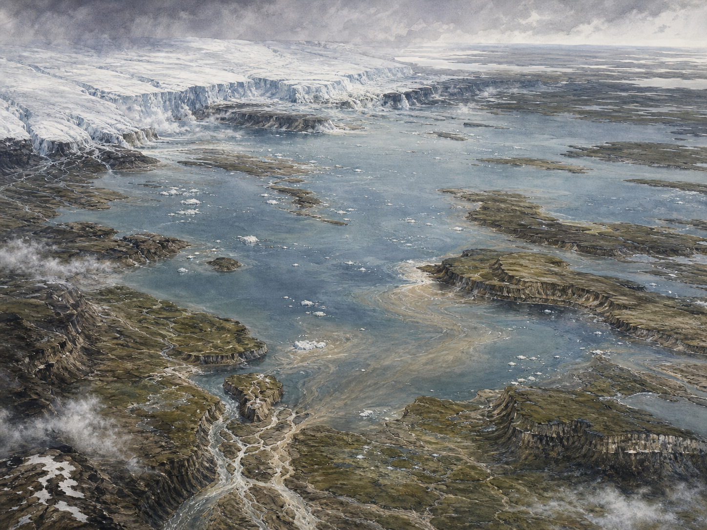
This is the part of the story that connects the dark basalt cliffs of St. Croix Falls to the pale sandstone bluffs farther south and west. The Midwest is not one simple layer. It is a stack of worlds. First came older crystalline and volcanic rocks. Then erosion. Then sand. Then seas. Then limestone and dolostone. Then glaciers and meltwater. Then the modern rivers and bluffs we see now.
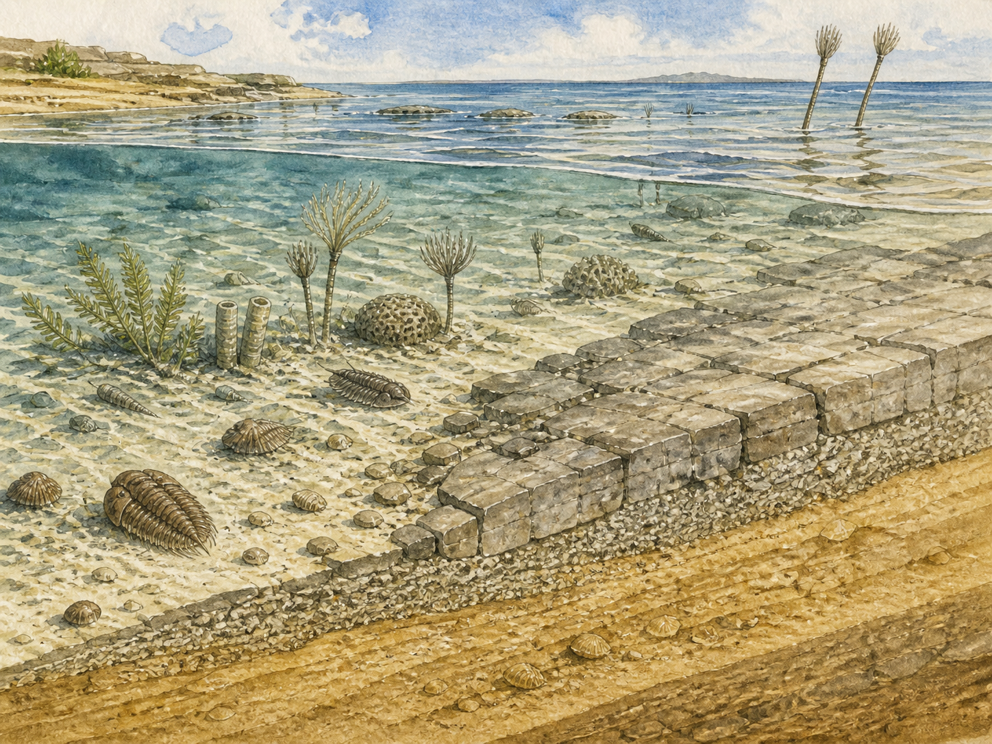
During the early Paleozoic Era, shallow seas covered much of what is now Minnesota, Wisconsin, Iowa, and surrounding states. Sand was moved along ancient shorelines and shallow marine environments. Over time, that sand became sandstone. Farther offshore, carbonate mud and shells accumulated and became limestone and dolostone. In places, these harder carbonate layers formed a cap over softer sandstone below.
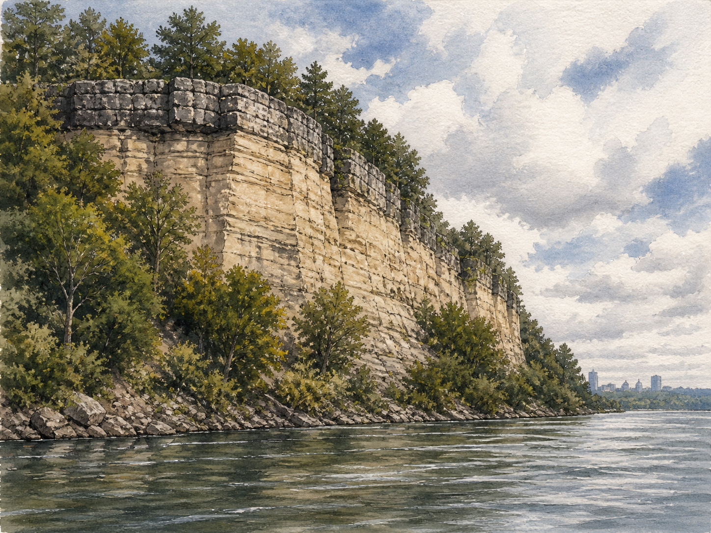
That caprock relationship is one of the keys to understanding places like St. Paul and the Mississippi River gorge. Around the Twin Cities, the soft white St. Peter Sandstone sits below harder Platteville Limestone and related carbonate rock. The limestone cap protects the sandstone for a while, but once water cuts through the cap, the softer sandstone erodes quickly underneath. That undercutting causes blocks of caprock to collapse, allowing waterfalls and cliffs to migrate.
This is how the ancient waterfall story enters the article.
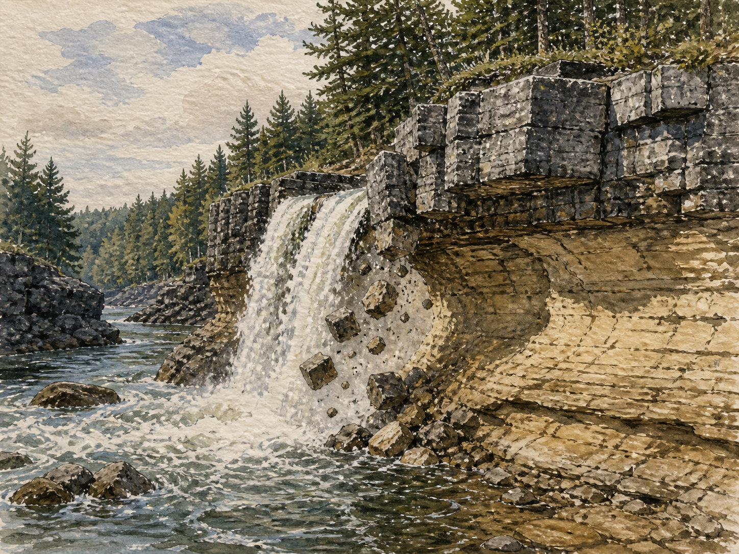
About 12,000 years ago, as the Ice Age was ending, enormous volumes of glacial meltwater moved through the region. One of the most dramatic features was Glacial River Warren, the outlet river from glacial Lake Agassiz. It helped carve major valleys in Minnesota and the Upper Mississippi system. Near St. Paul, Glacial River Warren Falls cut through the limestone cap and into the soft St. Peter Sandstone beneath it.
This ancient waterfall was not just a scenic falls like a modern park feature. It was a giant Ice Age waterfall, often described as Niagara-scale and possibly larger in width and power during peak meltwater flows. It migrated upstream over time as the soft sandstone was undercut and the limestone cap collapsed. The modern St. Anthony Falls in Minneapolis is the remnant of that long retreating waterfall system.
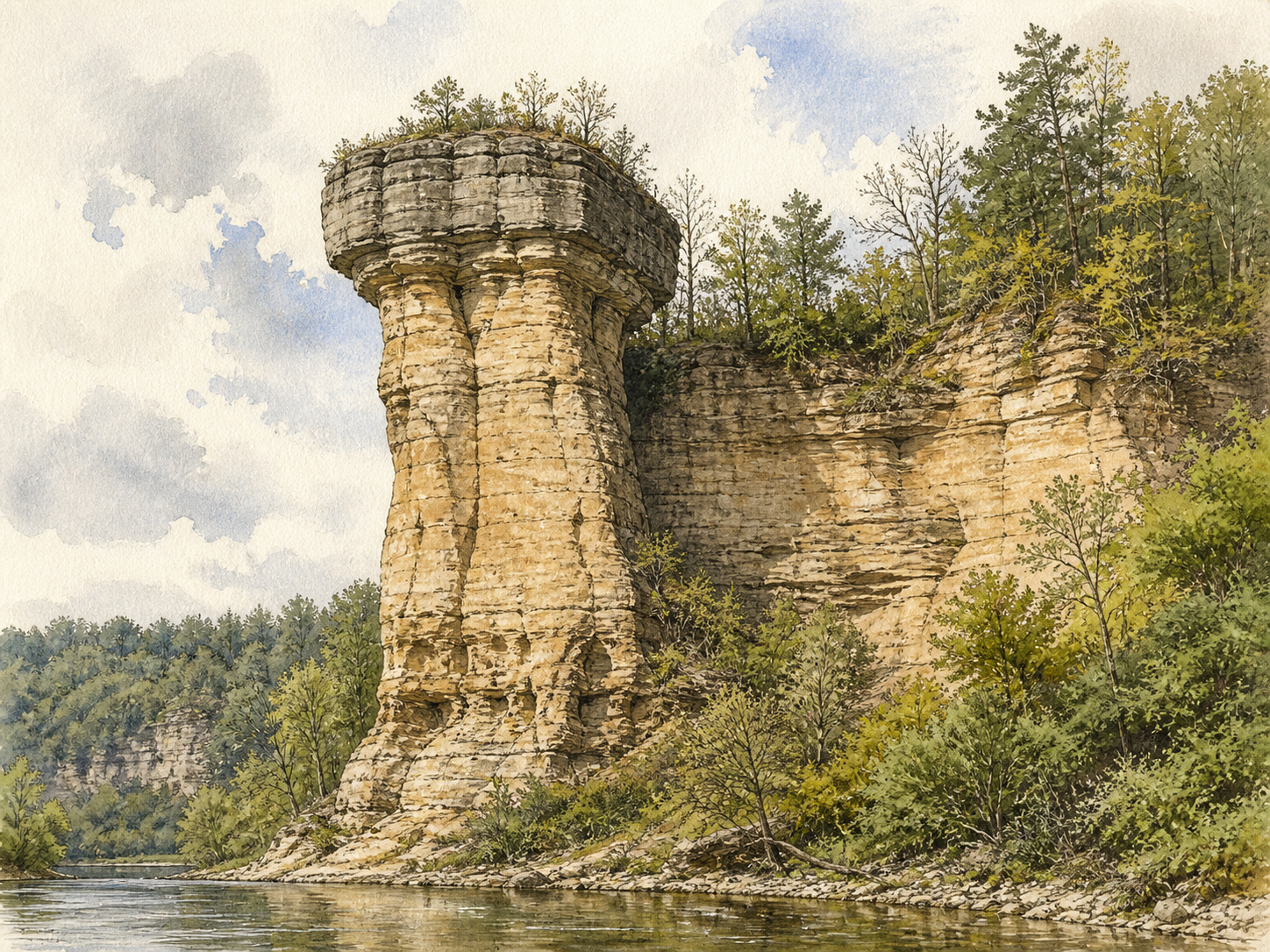
So when you look at the St. Paul river bluffs, you are not only seeing pretty cliffs. You are seeing the remains of a huge erosional machine: limestone caprock, soft sandstone below, glacial meltwater cutting through, and a waterfall retreating upstream through the valley.
Farther downriver, places like Red Wing and Barn Bluff show another version of the same deep-time stack. Barn Bluff rises above the Mississippi with Paleozoic sedimentary rocks exposed in the bluff. The region’s bluffs were shaped by rivers, glacial meltwater, erosion, and the structure of the bedrock itself. These bluffs feel ancient because they are ancient, but their present shape is also surprisingly young in geologic terms. The rock layers are hundreds of millions of years old, while the glacial carving and meltwater reshaping are mostly from the end of the Ice Age.
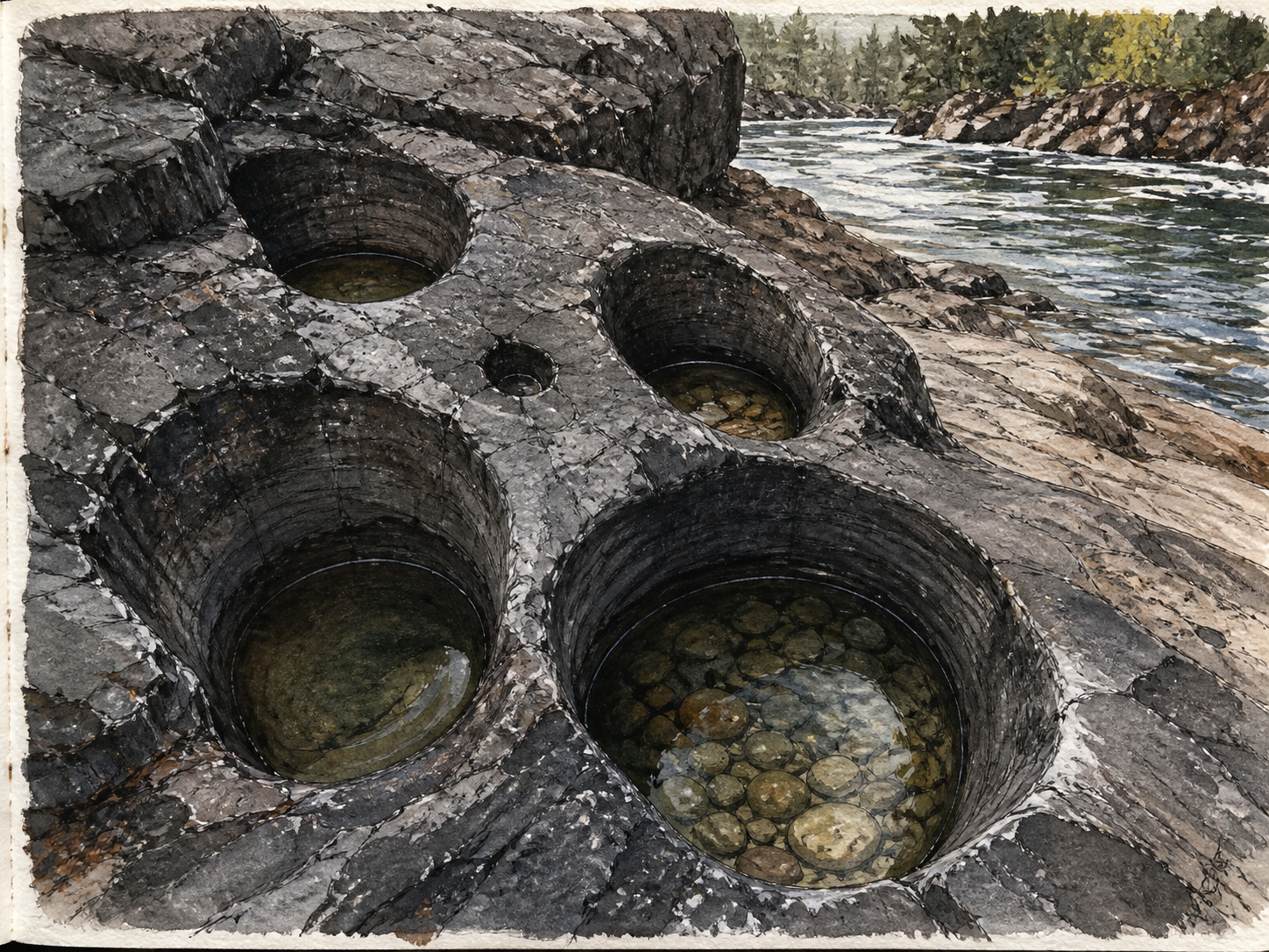
The same is true at Interstate Park. The basalt is more than a billion years old, but the famous glacial potholes are much younger. They were carved when powerful meltwater rushed through the St. Croix valley, swirling stones and sand against the basalt like natural drill bits. Some potholes are small. Others are deep, round shafts cut into extremely hard volcanic rock. It is one of the best places to feel two time scales at once: billion-year-old lava shaped by water from glaciers that disappeared only thousands of years ago.
That contrast is what makes the Midwest geology so strange and overlooked. People often think of the Midwest as flat, ordinary, or geologically boring. But the quiet surface hides one of the most complicated regional stories in North America. The same broad region contains ancient rift volcanism, some of the oldest exposed rocks on Earth in nearby Minnesota, Paleozoic tropical seas, clean quartz sandstones, limestone and dolostone caps, glacial floods, river gorges, driftless bluffs, iron staining, agates, copper, and industrial silica sand.
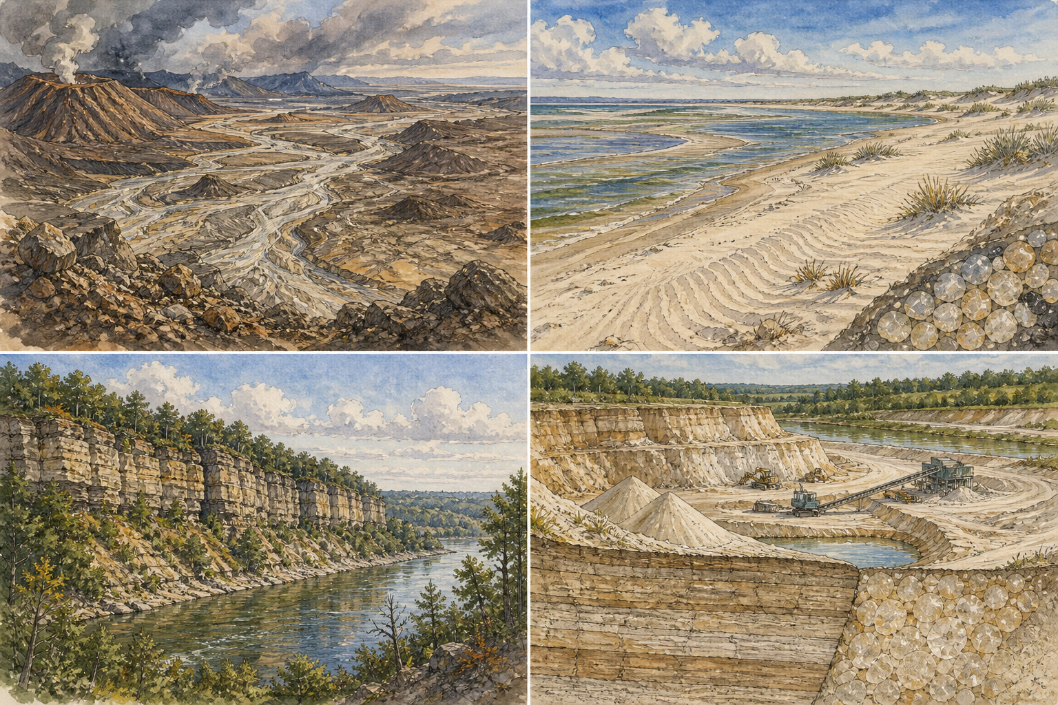
The silica part is where this story becomes modern.
Silica sand is essentially quartz sand. In parts of Wisconsin, Minnesota, Iowa, and Illinois, ancient sandstones contain sand that is very pure, well-rounded, and strong. That makes it valuable for industrial uses. Silica sand has been used in glassmaking, foundry work, filtration, construction materials, and, more recently, hydraulic fracturing. Wisconsin became especially important in the frac sand boom because some of its Cambrian and Ordovician sandstones contain high-quality quartz sand.
This does not mean every sandstone bluff will be mined, or that every silica deposit is automatically economic. Mining depends on purity, grain size, access, transportation, regulation, land ownership, water concerns, local opposition, and market demand. But the larger point remains: the same geologic processes that made the scenery also made the resource. Ancient erosion made quartz sand. Ancient seas and burial turned some of it into sandstone. Later erosion exposed it again. Modern industry then found value in what deep time had sorted.
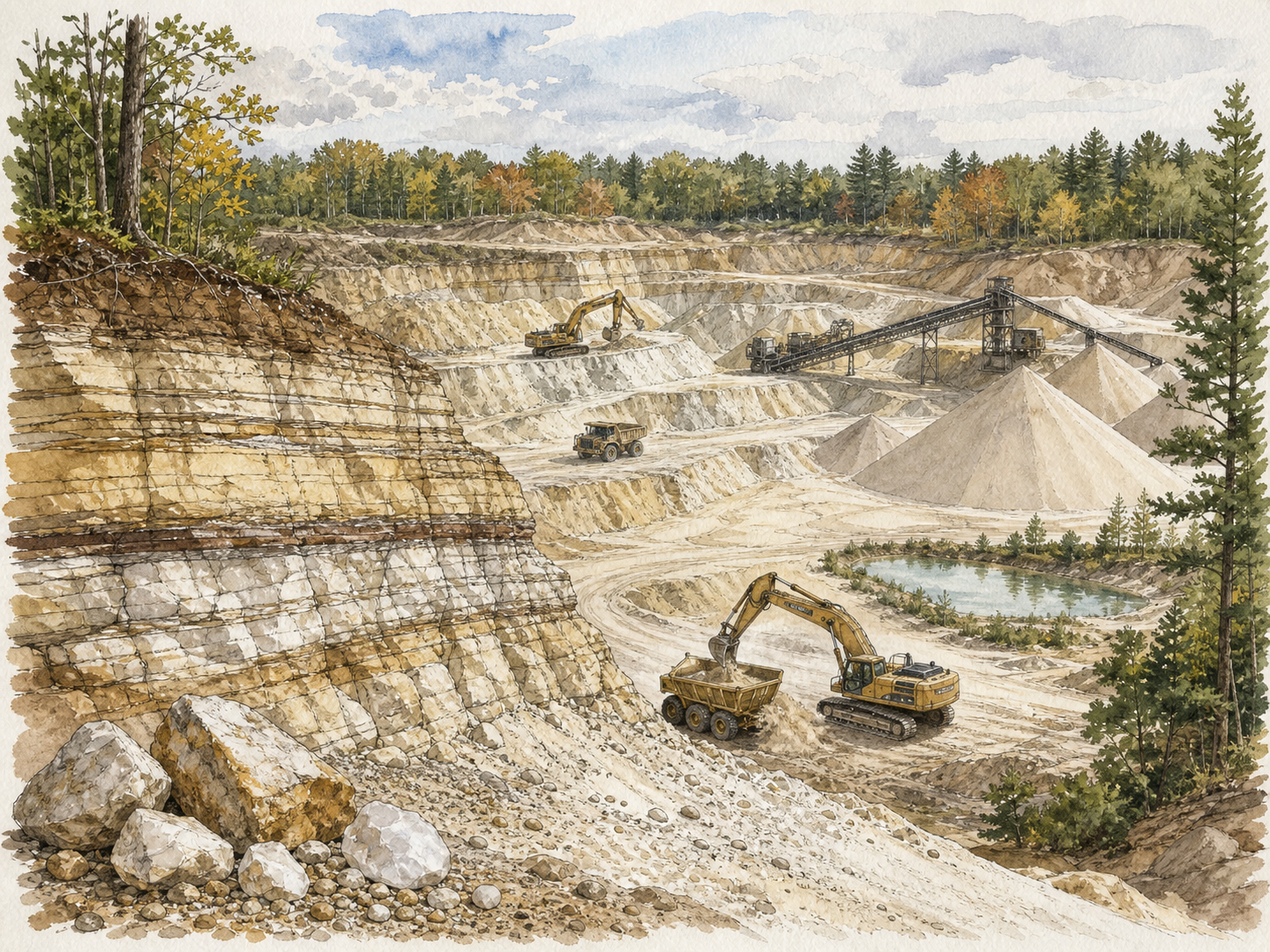
That is the strange thing about geology: scenery and resource are often the same story told from different angles. A bluff can be beautiful, sacred, industrially valuable, scientifically important, and environmentally vulnerable all at once.
For me, the story started simply. I moved near St. Croix Falls and started painting the dark rocks along the river. I liked the way the basalt looked under pine shadows, the way the river reflected the cliffs, and the way the potholes seemed almost carved by tools. Then I learned they were carved by water, ice, stones, time, and force. I learned that the basalt was not just “rock,” but lava from a failed continental rift. I learned that the pale sandstone and limestone farther south were part of another chapter entirely. I learned that St. Paul once had a giant waterfall tearing through its bedrock. I learned that the clean sand in these rocks is not ordinary sand, but the durable remains of vanished landscapes.
The Midwest is not geologically quiet. It is just old enough that most of its violence has been softened, buried, forested, farmed, paved, or mistaken for scenery.
The rocks are still telling the story: fire made the basalt, weathering freed the quartz, ancient seas buried the sand, limestone capped it, glaciers broke the surface open, meltwater carved the valleys, rivers kept cutting, and now people are studying, painting, quarrying, protecting, and arguing over what remains.
That is the geological history of the Midwest: not one event, but a long sequence of destruction and preservation. Volcanoes, mountains, barren erosion, tropical seas, limestone caps, Ice Age floods, waterfalls bigger than anything now left in the region, sandstone bluffs, glacial potholes, and silica pure enough to become part of the modern world.
*AI images were made using Chat GPT 2.0 The paintings at the bottom are my own. I verified all of the information in this story over the years and believe it to be accurate. tobymikle@gmail.com